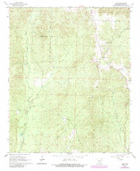
1965 Map of Tulip
USGS Topo · Published 1984About this map
Tulip and the surrounding timberlands of Dallas County are defined by a network of creeks and early forest tracks in this mid-1960s landscape. The settlement of Tulip sits as a central point of interest, while the small community of Wave and the Toomey Ch indicate the local centers of rural life. The terrain is deeply carved by the West Fork Tulip Creek, East Fork Tulip Creek, and Moro Creek, creating a drainage pattern that likely dictated the placement of early homesteads and roads. Extensive extractive activity is visible through numerous Gravel Pits scattered across the quadrangle, suggesting the importance of local materials for road building and industry. Notable named routes like the Penn Trail and Hugh Meyers Trail offer insights into the historical movement through the woods, appearing alongside more modern thoroughfares such as Loop Leg Rd and Wave Road.
Find a feature on this map
16 named features on this map. Tap any name to fly to it.
Don’t see what you’re looking for? This feature index may not catch every label — zoom into the map to look around manually.
Map Details
Editions of this 1965 Tulip Map
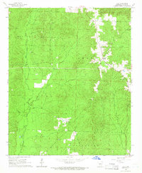
2 editions found
Other maps of this area

1903 · Camden
USGS Topo · 1:125,000

1953 · El Dorado
USGS Topo · 1:250,000

1955 · Little Rock
USGS Topo · 1:250,000

1956 · Little Rock
USGS Topo · 1:250,000

1957 · El Dorado
USGS Topo · 1:250,000

1958 · El Dorado
USGS Topo · 1:250,000

1960 · El Dorado
USGS Topo · 1:250,000

1960 · Little Rock
USGS Topo · 1:250,000

1964 · Little Rock
USGS Topo · 1:250,000

1965 · Round Hill
USGS Topo · 1:24,000