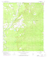
1963 Map of Tull
USGS Topo · Published 1976About this map
The Saline River winds through the heart of this landscape, forming a natural boundary that defines the rural character of Grant and Saline counties. This 1963 survey captures a transition in local infrastructure, where traditional crossings like Nance Ford remain while modern Gravel Pits and pipelines begin to score the terrain. The settlement of Tull serves as a central hub, situated near Tull Lake and the various tributaries of Mud Creek. For genealogists, the map is particularly valuable for its documentation of small family and community burial grounds, including Ashcraft Cem, Jones Cem, and Jacob Cem, many of which are tucked away near timbered branches. The presence of the Missouri Pacific railroad in the northeast corner near Detonti and the clustered activity at Haskell underscore the importance of rail transport to the local economy during this era.
Find a feature on this map
38 named features on this map. Tap any name to fly to it.
Don’t see what you’re looking for? This feature index may not catch every label — zoom into the map to look around manually.
Map Details
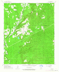
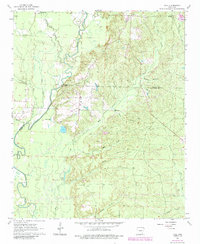
Editions of this 1963 Tull Map
3 editions found
Other maps of this area

1890 · Benton
USGS Topo · 1:125,000

1891 · Little Rock
USGS Topo · 1:125,000

1893 · Little Rock
USGS Topo · 1:125,000

1894 · Benton
USGS Topo · 1:125,000

1935 · Alexander
USGS Topo · 1:48,000

1938 · Benton
USGS Topo · 1:48,000

1941 · Alexander
USGS Topo · 1:62,500

1944 · Benton
USGS Topo · 1:62,500

1944 · Bryant
USGS Topo · 1:31,680

1944 · Benton
USGS Topo · 1:31,680