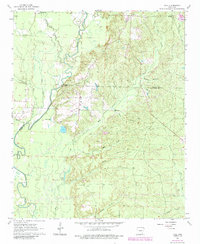
1963 Map of Tull
USGS Topo · Published 1984About this map
The Saline River winds through the heart of this central Arkansas landscape, defining the border between Saline and Grant Counties. This mid-century topography reveals a rural environment centered on the community of Tull, where numerous gravel pits suggest a local reliance on resource extraction. The map is a vital resource for genealogists, documenting several family and community burial grounds including Holly Cem, Ashcraft Cem, Jones Cem, and Jacob Cem. Small settlements like Shaw and Detonti appear alongside a complex network of waterways, from the major river channel to smaller named tributaries like Skullbone Creek and Horn Branch. Oxbow formations and isolated water bodies such as Tull Lake, Nall Lake, and Dotted Lake highlight the shifting nature of the river valley over time.
Find a feature on this map
28 named features on this map. Tap any name to fly to it.
Don’t see what you’re looking for? This feature index may not catch every label — zoom into the map to look around manually.
Map Details
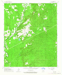
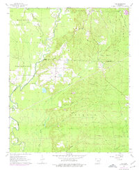
Editions of this 1963 Tull Map
3 editions found
Other maps of this area

1890 · Benton
USGS Topo · 1:125,000

1891 · Little Rock
USGS Topo · 1:125,000

1893 · Little Rock
USGS Topo · 1:125,000

1894 · Benton
USGS Topo · 1:125,000

1935 · Alexander
USGS Topo · 1:48,000

1938 · Benton
USGS Topo · 1:48,000

1941 · Alexander
USGS Topo · 1:62,500

1944 · Benton
USGS Topo · 1:62,500

1944 · Bryant
USGS Topo · 1:31,680

1944 · Benton
USGS Topo · 1:31,680