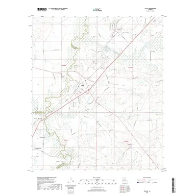
2018 Map of Tullos
USGS Topo · Published 2018About this map
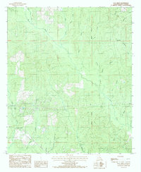
Urania and Tullos serve as the primary hubs in this landscape where LaSalle, Winn, and Grant Parishes converge. The terrain is defined by the winding course of the Little River and the significant wetlands of Castor Creek, which meanders through the central portion of the quadrangle. This area shows a distinct pattern of industrial and residential development, with numerous oil field access roads like Oil Field Rd and Petro Hunt One Rd branching off from the primary corridor.
Find a feature on this map
87 named features on this map. Tap any name to fly to it.
Don’t see what you’re looking for? This feature index may not catch every label — zoom into the map to look around manually.
Map Details
Editions of this 2018 Tullos Map
This is the sole edition of this map. No revisions or reprints were ever made.
Other maps of this area
1936 · Pollock
USGS Topo · 1:62,500
1941 · Jena
USGS Topo · 1:62,500
1941 · Pollock
USGS Topo · 1:62,500

1953 · Alexandria
USGS Topo · 1:250,000
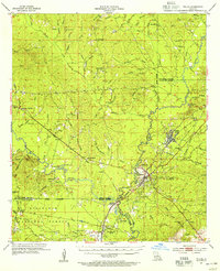
1954 · Tullos
USGS Topo · 1:62,500

1955 · Alexandria
USGS Topo · 1:250,000
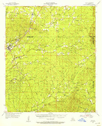
1955 · Olla
USGS Topo · 1:62,500
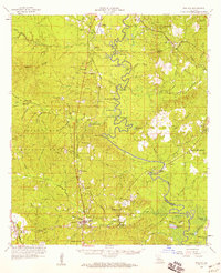
1958 · Pollock
USGS Topo · 1:62,500
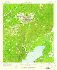
1958 · Jena
USGS Topo · 1:62,500
1984 · Flat Creek
USGS Topo · 1:24,000