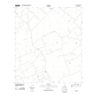
2010 Map of Tulsita
USGS Topo · Published 2010About this map
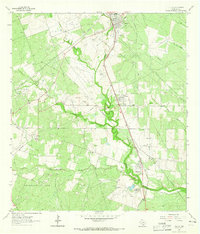
Medio Creek and its many tributaries, including Dry Medio Creek, wind through this South Texas landscape defined by petroleum extraction and ranching. The map centers on the small settlements of Tulsita and Burnell, highlighting an era when the local economy was heavily anchored by the Burnell Oil Field and the Pettus North Oil Field. These industrial sites are punctuated by traditional landmarks such as the Dahl Cemetery and Pettus Cemetery, providing essential geographic markers for genealogists and local historians.
Find a feature on this map
39 named features on this map. Tap any name to fly to it.
Don’t see what you’re looking for? This feature index may not catch every label — zoom into the map to look around manually.
Map Details
Editions of this 2010 Tulsita Map
This is the sole edition of this map. No revisions or reprints were ever made.
Other maps of this area

1936 · Pettus
USGS Topo · 1:62,500

1953 · Beeville
USGS Topo · 1:250,000

1956 · Beeville
USGS Topo · 1:250,000

1956 · Pettus
USGS Topo · 1:62,500

1956 · Karnes City
USGS Topo · 1:62,500

1960 · Beeville
USGS Topo · 1:250,000
1961 · Kenedy
USGS Topo · 1:24,000
1961 · Lenz
USGS Topo · 1:24,000
1963 · Monteola
USGS Topo · 1:24,000
1963 · Tuleta
USGS Topo · 1:24,000