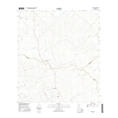
2016 Map of Tulsita
USGS Topo · Published 2016About this map
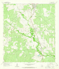
The South Texas brush country at the intersection of Karnes, Bee, and Goliad counties is defined by a dense network of intermittent creeks and rural crossroads. This 2016 survey shows the small settlements of Tulsita and Pettus south of the winding course of Medio Cr. The landscape is etched with historical family markers such as the Pettus Cem and Dahl Cem, while the northern portion of the quadrangle around Green and Burnell is characterized by a high density of county roads that navigate the subtle drainage basins of Hondo Cr and Blanco Cr. The map's detailed boundary lines illustrate how these waterways served as natural markers for county divisions, particularly where Medio Cr forms the border between Karnes and Bee counties.
Find a feature on this map
42 named features on this map. Tap any name to fly to it.
Don’t see what you’re looking for? This feature index may not catch every label — zoom into the map to look around manually.
Map Details
Editions of this 2016 Tulsita Map
This is the sole edition of this map. No revisions or reprints were ever made.
Other maps of this area

1936 · Pettus
USGS Topo · 1:62,500

1953 · Beeville
USGS Topo · 1:250,000

1956 · Beeville
USGS Topo · 1:250,000

1956 · Pettus
USGS Topo · 1:62,500

1956 · Karnes City
USGS Topo · 1:62,500

1960 · Beeville
USGS Topo · 1:250,000
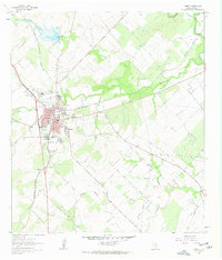
1961 · Kenedy
USGS Topo · 1:24,000
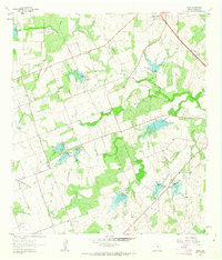
1961 · Lenz
USGS Topo · 1:24,000
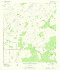
1963 · Monteola
USGS Topo · 1:24,000
1963 · Tuleta
USGS Topo · 1:24,000