2022 Map of Tulsita
USGS Topo · Published 2022About this map
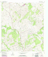
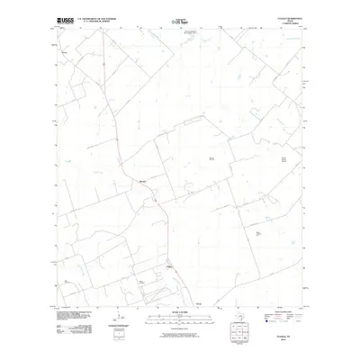
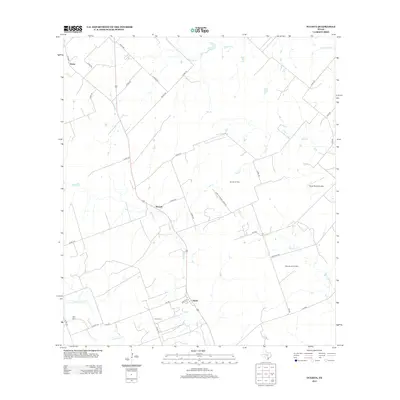
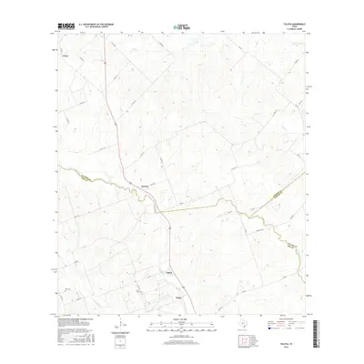
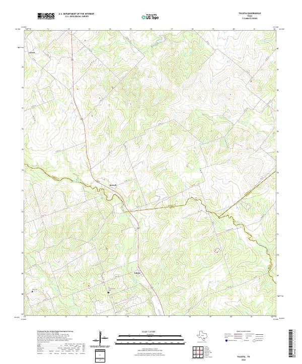
Tulsita sits at the junction of FM 798 and US Route 181, marking a central point in this South Texas landscape where the borders of Bee, Karnes, and Goliad counties converge. The terrain is defined by a dense network of intermittent drainages, including Medio Cr and Dry Medio Cr, which carve through the countryside. This modern survey illustrates a rural settlement pattern where small communities like Burnell and Green are connected by a web of county roads and farm-to-market routes. Genealogists will find particular value in the locations of the R L Sommerville Cem and Dahl Cem, which remain as anchor points for local family histories. The convergence of Karnes and Goliad county lines highlights the jurisdictional boundaries that have shaped land ownership and local governance in this region for generations.
Find a feature on this map
41 named features on this map. Tap any name to fly to it.
Don’t see what you’re looking for? This feature index may not catch every label — zoom into the map to look around manually.
Map Details
Editions of this 2022 Tulsita Map
This is the sole edition of this map. No revisions or reprints were ever made.
Historical Maps of Green Through Time
6 maps found