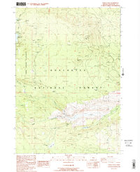
1988 Map of Tumalo Falls
USGS Topo · Published 1988About this map
Tumalo Falls serves as a central landmark within this portion of the Deschutes National Forest, where high-altitude hydrology and volcanic terrain define the landscape. The convergence of the North Fork Middle Fork Tumalo Creek and Bridge Creek near a local Gaging Station highlights the importance of water management in this region during the late 1980s. Recreation and survival infrastructure is well-documented through a network of remote outposts, including the Swampy Lakes Shelter, Tumalo Falls Shelter, and Swede Ridge Shelter.
Find a feature on this map
33 named features on this map. Tap any name to fly to it.
Don’t see what you’re looking for? This feature index may not catch every label — zoom into the map to look around manually.
Map Details
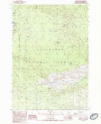
Editions of this 1988 Tumalo Falls Map
2 editions found
Other maps of this area

1926 · Bend
USGS Topo · 1:125,000

1929 · Bend
USGS Topo · 1:125,000

1929 · Three Sisters
USGS Topo · 1:125,000

1930 · Maiden Peak
USGS Topo · 1:125,000

1931 · Newberry Crater
USGS Topo · 1:125,000

1932 · Three Sisters
USGS Topo · 1:125,000

1934 · Maiden Peak
USGS Topo · 1:125,000

1935 · Newberry Crater
USGS Topo · 1:125,000

1955 · Crescent
USGS Topo · 1:250,000

1955 · Bend
USGS Topo · 1:250,000