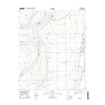
2015 Map of Tunica
USGS Topo · Published 2015About this map
The Mississippi River defines the western edge of this territory, where the state line between Arkansas and Mississippi snakes through a complex of river bends and islands. The delta landscape is heavily shaped by the massive Mississippi Levee, which protects the low-lying interior from seasonal flooding. Settlements like Austin, Evansville, and Mhoon Landing are scattered throughout this alluvial plain, joined by a grid of rural roads and drainage networks such as McKinney Bayou and White Oak Bayou.
Find a feature on this map
74 named features on this map. Tap any name to fly to it.
Don’t see what you’re looking for? This feature index may not catch every label — zoom into the map to look around manually.
Map Details
Editions of this 2015 Tunica Map
This is the sole edition of this map. No revisions or reprints were ever made.
Other maps of this area

1908 · Dundee
USGS Topo · 1:24,000

1908 · Hollywood
USGS Topo · 1:24,000

1908 · Walnut Lake
USGS Topo · 1:24,000

1910 · Dundee
USGS Topo · 1:31,680

1910 · Walnut Lake
USGS Topo · 1:31,680

1913 · Hollywood
USGS Topo · 1:31,680

1931 · Horseshoe Lake
USGS Topo · 1:62,500

1939 · Clayton
USGS Topo · 1:62,500

1939 · Horseshoe Lake
USGS Topo · 1:62,500

1939 · Park Place
USGS Topo · 1:62,500