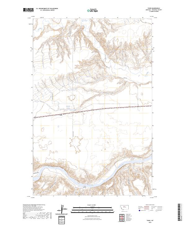
2024 Map of Tunis
USGS Topo · Published 2024About this map
The Missouri River and Teton River frame this high plains landscape in Chouteau County, where the small settlement of Tunis sits along the roadway of Spud Ln. The terrain is defined by its deep drainage patterns, with numerous named coulees like Bullhead Coulee, Cherry Coulee, and Long Coulee carving through the plateau toward the river valleys. Local transportation is grounded in a network of rural routes including Spring Station Rd and Tunis South Rd, which provide access to interior landmarks such as Eightmile Springs. To the north, the Teton River meanders through the landscape, while Eightmile Coulee cuts a significant path across the central part of the quadrangle. This recent survey captures the enduring rural character of central Montana, where water sources and named paths like Elbow Ranch Rd remain the primary anchors for navigation and property boundaries.
Find a feature on this map
21 named features on this map. Tap any name to fly to it.
Don’t see what you’re looking for? This feature index may not catch every label — zoom into the map to look around manually.
Map Details
Editions of this 2024 Tunis Map
This is the sole edition of this map. No revisions or reprints were ever made.
Other maps of this area

1890 · Fort Benton
USGS Topo · 1:250,000

1892 · Fort Benton
USGS Topo · 1:250,000

1897 · Fort Benton
USGS Topo · 1:250,000

1953 · Carter
USGS Topo · 1:24,000

1953 · Tunis
USGS Topo · 1:24,000

1954 · Great Falls
USGS Topo · 1:250,000

1954 · Rice Reservoir
USGS Topo · 1:24,000

1954 · Fort Benton
USGS Topo · 1:24,000

1954 · Lander Crossing
USGS Topo · 1:24,000

1956 · Highwood
USGS Topo · 1:62,500