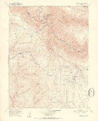
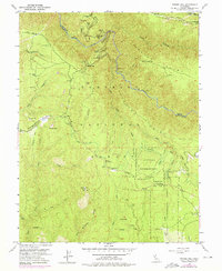
1950 Map of Tunnel Hill
USGS Topo · Published 1952About this map
Mining operations and timber management dominate this 1950s survey of the Eldorado National Forest, where the deep drainage of the Rubicon River forms a natural boundary between Placer and El Dorado counties. The landscape is marked by historical extraction, featuring the Boedner Mine near Pennsylvania Point and the Kenna Mine tucked within Missouri Canyon. Settlement is sparse, represented by isolated outposts like Barton Cabin and the small community at Quintette.
Find a feature on this map
60 named features on this map. Tap any name to fly to it.
Don’t see what you’re looking for? This feature index may not catch every label — zoom into the map to look around manually.
Map Details
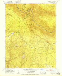
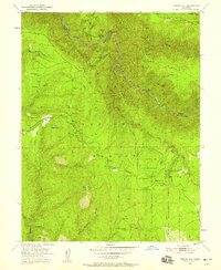
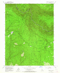
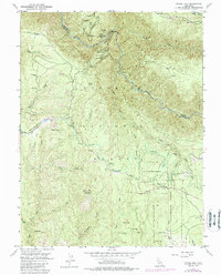
Editions of this 1950 Tunnel Hill Map
7 editions found

Other maps of this area

1891 · Colfax
USGS Topo · 1:125,000

1891 · Placerville
USGS Topo · 1:125,000

1892 · Placerville
USGS Topo · 1:125,000

1892 · Colfax
USGS Topo · 1:125,000

1893 · Placerville
USGS Topo · 1:125,000

1894 · Colfax
USGS Topo · 1:125,000

1898 · Colfax
USGS Topo · 1:125,000

1900 · Colfax
USGS Topo · 1:125,000

1902 · Colfax
USGS Topo · 1:125,000

1938 · Colfax
USGS Topo · 1:125,000