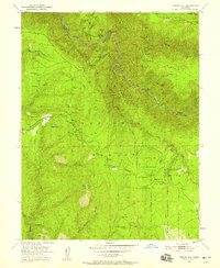
1950 Map of Tunnel Hill
USGS Topo · Published 1958About this map
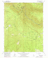
Georgetown Divide defines the upper reaches of El Dorado County, where the rugged topography is marked by a legacy of resource extraction and forestry. During the mid-twentieth century, this landscape was a complex network of active and legacy mines, including the Kenna Mine, Bedrock Mine, and Bluebird Mine. The presence of a Sawmill and the Blodgett Experimental Forest underscores the era's focus on timber management. The map details the winding course of the Rubicon River as it carves through deep canyons, with local habitation represented by small outposts like Edison Cabin and Bacchi Ranch.
Find a feature on this map
54 named features on this map. Tap any name to fly to it.
Don’t see what you’re looking for? This feature index may not catch every label — zoom into the map to look around manually.
Map Details
Editions of this 1950 Tunnel Hill Map
7 editions found
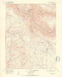
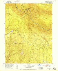
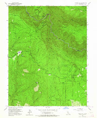
Other maps of this area

1891 · Colfax
USGS Topo · 1:125,000

1891 · Placerville
USGS Topo · 1:125,000

1892 · Placerville
USGS Topo · 1:125,000

1892 · Colfax
USGS Topo · 1:125,000

1893 · Placerville
USGS Topo · 1:125,000

1894 · Colfax
USGS Topo · 1:125,000

1898 · Colfax
USGS Topo · 1:125,000

1900 · Colfax
USGS Topo · 1:125,000

1902 · Colfax
USGS Topo · 1:125,000

1938 · Colfax
USGS Topo · 1:125,000