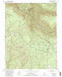
1950 Map of Tunnel Hill
USGS Topo · Published 1988About this map
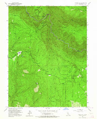
Eldorado National Forest spans the rugged Divide between the Rubicon River and Otter Creek on this 1950s era survey. The landscape is defined by its gold-mining history, marked by a high concentration of claims including the Kenna Mine, Bedrock Mine, and Kenny Mine. Higher elevations are dominated by landmarks like Bald Mtn Lookout and the Peavine Point ridge, while early 20th-century settlement is evidenced by the Edison Cabin and Bacchi Ranch. The eastern portion contains the Blodgett Experimental Forest, reflecting the region's shift toward scientific forestry management. Distinctive landscape features such as Kentucky Flat and Buckeye Flat offer a look at the varied topography used by early residents before the mid-century revisions added infrastructure near Quintette.
Find a feature on this map
51 named features on this map. Tap any name to fly to it.
Don’t see what you’re looking for? This feature index may not catch every label — zoom into the map to look around manually.
Map Details
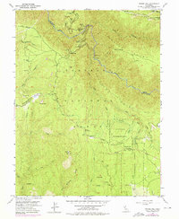
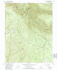
Editions of this 1950 Tunnel Hill Map
7 editions found
Other maps of this area

1891 · Colfax
USGS Topo · 1:125,000

1891 · Placerville
USGS Topo · 1:125,000

1892 · Placerville
USGS Topo · 1:125,000

1892 · Colfax
USGS Topo · 1:125,000

1893 · Placerville
USGS Topo · 1:125,000

1894 · Colfax
USGS Topo · 1:125,000

1898 · Colfax
USGS Topo · 1:125,000

1900 · Colfax
USGS Topo · 1:125,000

1902 · Colfax
USGS Topo · 1:125,000

1938 · Colfax
USGS Topo · 1:125,000