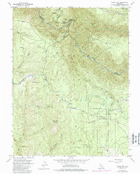
1950 Map of Tunnel Hill
USGS Topo · Published 1988About this map
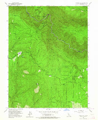
Bald Mountain and the Rubicon River anchor this mid-century survey of the California gold country, a landscape defined by deep drainages and legacy mining operations. The rugged divide between Missouri Canyon and Long Canyon is dotted with several named claims, including the Bedrock Mine, Kenna Mine, and Bootjack Mine. Small settlements and seasonal habitations appear as isolated outposts like Edison Cabin and Conner Cabin, while the Georgetown Divide provides the primary transit route along the ridges. The eastern portion of the map transitions into the Eldorado National Forest, where the Blodgett Experimental Forest was established for silvicultural study. Notable landmarks like the Bald Mtn Lookout and a remote Landing Field near Bacchi Ranch underscore the area's mix of resource management and early 20th-century aviation infrastructure.
Find a feature on this map
55 named features on this map. Tap any name to fly to it.
Don’t see what you’re looking for? This feature index may not catch every label — zoom into the map to look around manually.
Map Details
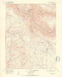
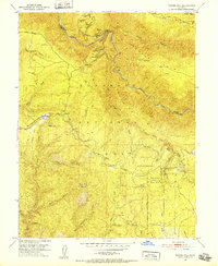
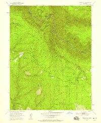
Editions of this 1950 Tunnel Hill Map
7 editions found
Other maps of this area

1891 · Colfax
USGS Topo · 1:125,000

1891 · Placerville
USGS Topo · 1:125,000

1892 · Placerville
USGS Topo · 1:125,000

1892 · Colfax
USGS Topo · 1:125,000

1893 · Placerville
USGS Topo · 1:125,000

1894 · Colfax
USGS Topo · 1:125,000

1898 · Colfax
USGS Topo · 1:125,000

1900 · Colfax
USGS Topo · 1:125,000

1902 · Colfax
USGS Topo · 1:125,000

1938 · Colfax
USGS Topo · 1:125,000