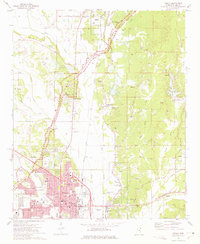
1973 Map of Tupelo
USGS Topo · Published 1975About this map
Tupelo and its surrounding Lee County landscape are defined by the convergence of the Illinois Central Gulf and St Louis-San Francisco railroads, serving as a regional hub for industry and transport in the early 1970s. The map illustrates a transition from the dense urban grid of the city, featuring the Courthouse and City Hall, to the outlying rural settlements of Saltillo and Auburn. A notable historical presence is felt through the Chickasaw Village Site and the Confederate Cem, alongside the sweeping route of the Natchez Trace Parkway.
Find a feature on this map
74 named features on this map. Tap any name to fly to it.
Don’t see what you’re looking for? This feature index may not catch every label — zoom into the map to look around manually.
Map Details
Editions of this 1973 Tupelo Map
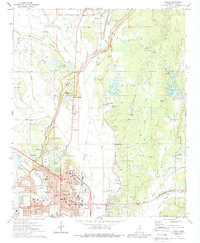
2 editions found
Other maps of this area

1921 · Tupelo
USGS Topo · 1:48,000

1923 · Tupelo
USGS Topo · 1:62,500

1955 · Sherman
USGS Topo · 1:62,500

1956 · Tupelo
USGS Topo · 1:250,000

1958 · Tupelo
USGS Topo · 1:250,000

1965 · Mooreville
USGS Topo · 1:24,000

1966 · Evergreen
USGS Topo · 1:24,000

1966 · Bissell
USGS Topo · 1:24,000

1966 · Verona
USGS Topo · 1:24,000

1973 · Guntown
USGS Topo · 1:24,000