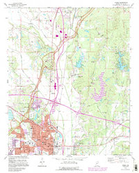
1992 Map of Tupelo
USGS Topo · Published 1995About this map
Tupelo National Battlefield and the Chickasaw Village Site anchor the historic landscape of this Lee County region, which reflects a complex layer of indigenous history and Civil War memory. The urban core of Tupelo is shown in detail, featuring landmarks like the Courthouse, Glenwood Cem, and the Pentecostal Bible Inst. Development extends along the Gulf Mobile and Ohio railroad corridor, reaching north toward Saltillo and the high ground of Birmingham Ridge.
Find a feature on this map
62 named features on this map. Tap any name to fly to it.
Don’t see what you’re looking for? This feature index may not catch every label — zoom into the map to look around manually.
Map Details
Editions of this 1992 Tupelo Map
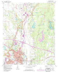
2 editions found
Other maps of this area

1921 · Tupelo
USGS Topo · 1:48,000

1923 · Tupelo
USGS Topo · 1:62,500

1955 · Sherman
USGS Topo · 1:62,500

1956 · Tupelo
USGS Topo · 1:250,000

1958 · Tupelo
USGS Topo · 1:250,000

1965 · Mooreville
USGS Topo · 1:24,000

1966 · Evergreen
USGS Topo · 1:24,000

1966 · Bissell
USGS Topo · 1:24,000

1966 · Verona
USGS Topo · 1:24,000

1973 · Guntown
USGS Topo · 1:24,000