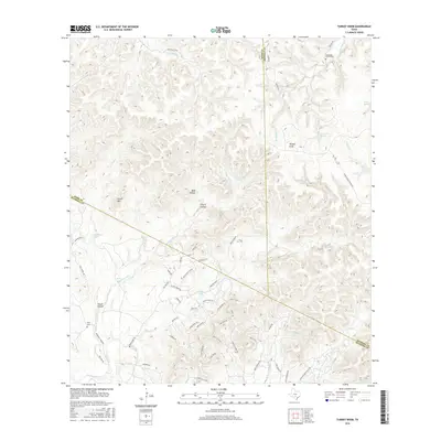
2016 Map of Turkey Knob
USGS Topo · Published 2016About this map
Turkey Knob serves as a central landmark for this rugged section of the Texas Hill Country, where the boundaries of Kerr, Kendall, and Bandera counties meet. The landscape is defined by its dramatic relief, featuring prominent elevations like Cloud Mtn and deep valleys such as Bald Hollow and Cherry Hollow. Historically, the area's water sources were vital for early settlers, evidenced by numerous named springs like Sycamore Spring, Brown Spring, and Champee Spring that feed into the local creek systems.
Find a feature on this map
63 named features on this map. Tap any name to fly to it.
Don’t see what you’re looking for? This feature index may not catch every label — zoom into the map to look around manually.
Map Details
Editions of this 2016 Turkey Knob Map
This is the sole edition of this map. No revisions or reprints were ever made.
Other maps of this area

1954 · San Antonio
USGS Topo · 1:250,000

1956 · Comfort
USGS Topo · 1:62,500

1956 · Bandera
USGS Topo · 1:62,500

1956 · Medina Lake
USGS Topo · 1:62,500

1956 · Center Point
USGS Topo · 1:62,500

1957 · San Antonio
USGS Topo · 1:250,000

1964 · Comfort
USGS Topo · 1:24,000

1964 · Waring
USGS Topo · 1:24,000

1964 · Center Point
USGS Topo · 1:24,000

1964 · Bandera
USGS Topo · 1:24,000