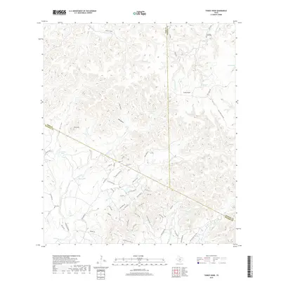
2019 Map of Turkey Knob
USGS Topo · Published 2019About this map
Turkey Knob rises as a prominent landmark in this Texas Hill Country terrain where the boundaries of Kerr, Kendall, and Bandera counties meet. The landscape is defined by deep drainages like Cherry Hollow and Cloud Hollow, while water sources such as Sycamore Spring and Champee Spring reflect the region's karstic geology. For local historians, the presence of the Langridge Family Cem and Polly Cem offers direct links to early ranching families who settled these draws. Small bodies of water including Christophs Lake and Berry Lake are scattered among the ridges, while named routes like Roller Coaster Rd and Oil Well Rd E trace the winding topography. The network of creeks, including Privilege Cr and Bear Cr, dictates the placement of rural residences and access roads throughout this upland area.
Find a feature on this map
63 named features on this map. Tap any name to fly to it.
Don’t see what you’re looking for? This feature index may not catch every label — zoom into the map to look around manually.
Map Details
Editions of this 2019 Turkey Knob Map
This is the sole edition of this map. No revisions or reprints were ever made.
Other maps of this area

1954 · San Antonio
USGS Topo · 1:250,000

1956 · Comfort
USGS Topo · 1:62,500

1956 · Bandera
USGS Topo · 1:62,500

1956 · Medina Lake
USGS Topo · 1:62,500

1956 · Center Point
USGS Topo · 1:62,500

1957 · San Antonio
USGS Topo · 1:250,000

1964 · Comfort
USGS Topo · 1:24,000

1964 · Waring
USGS Topo · 1:24,000

1964 · Center Point
USGS Topo · 1:24,000

1964 · Bandera
USGS Topo · 1:24,000