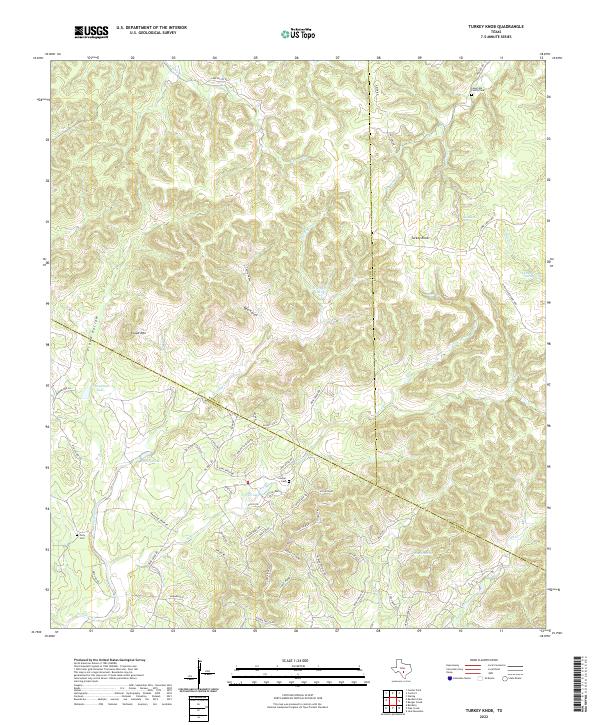
2022 Map of Turkey Knob
USGS Topo · Published 2022About this map
The intersection of Bandera, Kerr, and Kendall counties in the Texas Hill Country reveals a landscape deeply marked by its water sources and family histories. Prominent landmarks such as Turkey Knob and Cloud Mtn overlook a complex network of drainages including Cherry Cr, Big Joshua Cr, and Cibolo Cr. The region's early settlement and genealogical heritage are preserved in site-specific markers like the Langridge Family Cem, Lawyer Cem, and Polly Cem.
Find a feature on this map
64 named features on this map. Tap any name to fly to it.
Don’t see what you’re looking for? This feature index may not catch every label — zoom into the map to look around manually.
Map Details
Editions of this 2022 Turkey Knob Map
This is the sole edition of this map. No revisions or reprints were ever made.
Other maps of this area

1954 · San Antonio
USGS Topo · 1:250,000

1956 · Comfort
USGS Topo · 1:62,500

1956 · Bandera
USGS Topo · 1:62,500

1956 · Medina Lake
USGS Topo · 1:62,500

1956 · Center Point
USGS Topo · 1:62,500

1957 · San Antonio
USGS Topo · 1:250,000

1964 · Comfort
USGS Topo · 1:24,000

1964 · Waring
USGS Topo · 1:24,000

1964 · Center Point
USGS Topo · 1:24,000

1964 · Bandera
USGS Topo · 1:24,000