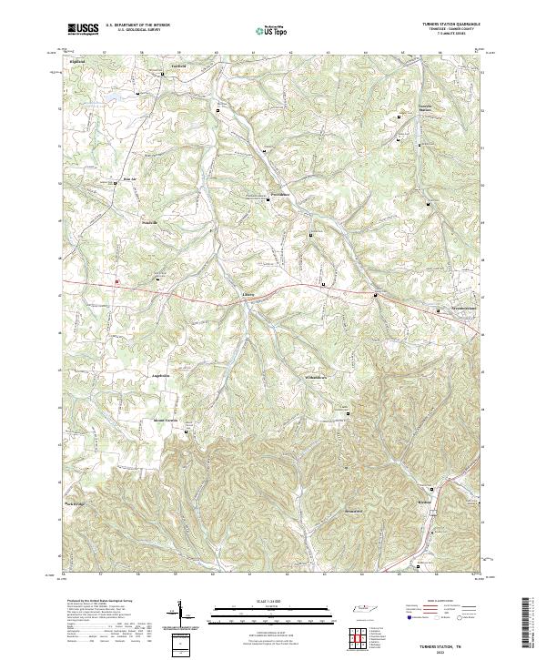
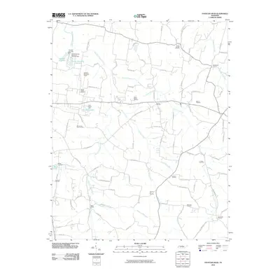
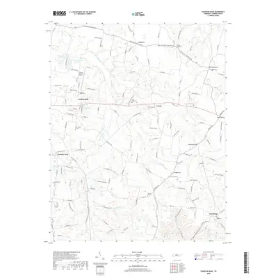
2022 Map of Turners Station
USGS Topo · Published 2022About this map
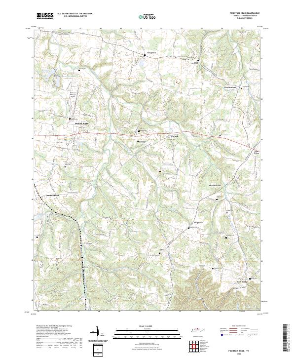
Turners Station and its surrounding hollows define this northern Tennessee landscape, where the headwaters of numerous forks and creeks carve through the plateau. Small agrarian settlements such as Liberty, Providence, and Bledsoe anchor the area, connected by a winding network of country roads like Fairfield Rd and Dutch Creek Rd. The mapping shows a high density of small family and community burial grounds, including the Who So Ever Will Cem and the Providence General Baptist Church Cem, which serve as vital landmarks for tracing local lineage.
Find a feature on this map
134 named features on this map. Tap any name to fly to it.
Don’t see what you’re looking for? This feature index may not catch every label — zoom into the map to look around manually.
Map Details
Editions of this 2022 Turners Station Map
This is the sole edition of this map. No revisions or reprints were ever made.
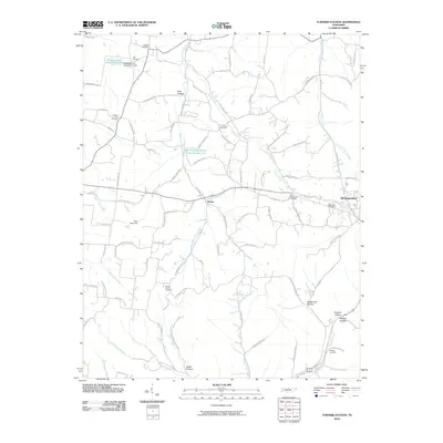
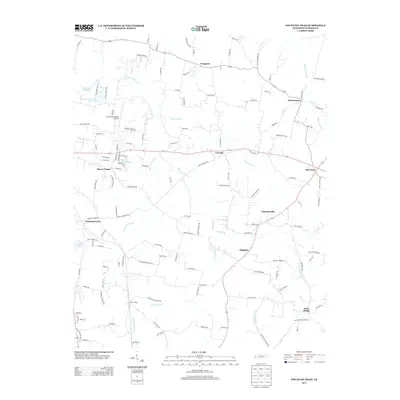
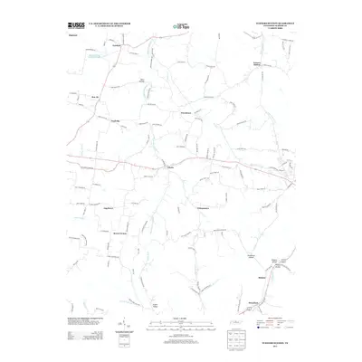
Historical Maps of Westmoreland Through Time
13 maps found
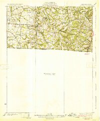
1931 Adolphus
Sumner County, TN
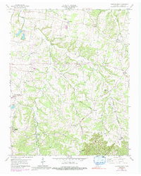
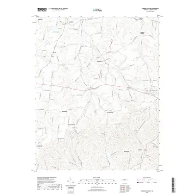
1958 Fountain Head
Sumner County, TN
1958 Turners Station
Sumner County, TN
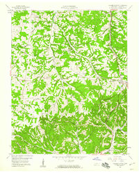
2010 Fountain Head
Sumner County, TN
2010 Turners Station
Sumner County, TN
2013 Fountain Head
Sumner County, TN
2013 Turners Station
Sumner County, TN
2016 Fountain Head
Sumner County, TN
2016 Turners Station
Sumner County, TN
2019 Fountain Head
Sumner County, TN
2019 Turners Station
Sumner County, TN
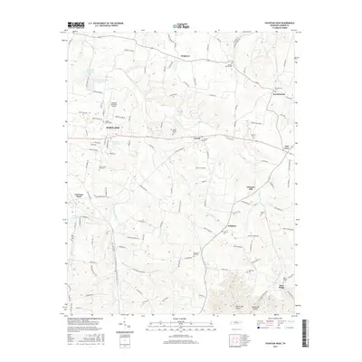
2022 Fountain Head
Sumner County, TN
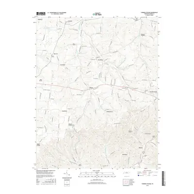
2022 Turners Station
Sumner County, TN