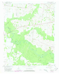
1964 Map of Turnpike
USGS Topo · Published 1981About this map
The Hatchie River dominates this West Tennessee landscape, winding through a complex network of wetlands and oxbow lakes where Haywood, Tipton, and Lauderdale counties meet. This river bottom environment is punctuated by numerous named water bodies like Horseshoe Lake, Round Hole Lake, and Bond Cutoff Lake, illustrating the shifting course of the river over decades. On the higher ground bordering the floodplain, small rural communities such as Orysa and Turnpike served as local anchors for the surrounding agricultural life.
Find a feature on this map
31 named features on this map. Tap any name to fly to it.
Don’t see what you’re looking for? This feature index may not catch every label — zoom into the map to look around manually.
Map Details
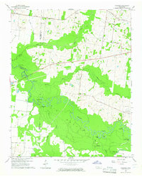
Editions of this 1964 Turnpike Map
2 editions found
Other maps of this area

1950 · Brownsville
USGS Topo · 1:24,000

1951 · Brownsville
USGS Topo · 1:24,000

1952 · Stanton
USGS Topo · 1:24,000

1952 · Dancyville
USGS Topo · 1:24,000

1952 · Stanton
USGS Topo · 1:62,500

1954 · Mason
USGS Topo · 1:62,500

1956 · Blytheville
USGS Topo · 1:250,000

1959 · Blytheville
USGS Topo · 1:250,000

1961 · Rialto
USGS Topo · 1:62,500

1962 · Rialto
USGS Topo · 1:62,500