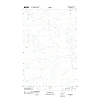
2011 Map of Turtle Creek
USGS Topo · Published 2011About this map
Turtle Creek and its many tributaries carve through the McCone County landscape in this detailed study of northeastern Montana. The drainage system is particularly dense here, featuring the Remuda Creek network, including its Middle Fork and West Fork, alongside the prominent Prairie Elk Creek and Big Mud Creek. These waterways dictate the local geography, creating distinct landforms such as Alkali Coulee and Green Coulee.
Find a feature on this map
12 named features on this map. Tap any name to fly to it.
Don’t see what you’re looking for? This feature index may not catch every label — zoom into the map to look around manually.
Map Details
Editions of this 2011 Turtle Creek Map
This is the sole edition of this map. No revisions or reprints were ever made.
Other maps of this area

1915 · Frazer
USGS Topo · 1:62,500

1915 · Oswego
USGS Topo · 1:62,500

1954 · Jordan
USGS Topo · 1:250,000

1954 · Glendive
USGS Topo · 1:250,000

1954 · Wolf Point
USGS Topo · 1:250,000

1954 · Glasgow
USGS Topo · 1:250,000

1956 · Jordan
USGS Topo · 1:250,000

1957 · Glasgow
USGS Topo · 1:250,000

1957 · Glendive
USGS Topo · 1:250,000

1958 · Wolf Point
USGS Topo · 1:250,000