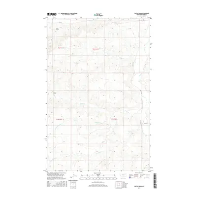
2017 Map of Turtle Creek
USGS Topo · Published 2017About this map
Turtle Cr and its complex network of coulees and tributaries define this drainage basin in McCone County during the early 21st century. The landscape is carved by seasonal watercourses like Alkali Coulee and Green Coulee, which feed into the larger system of Prairie Elk Cr. The southern portion of the map shows the intricate branching of the Remuda Cr system, including the Middle Fork Remuda Cr and W Fork Remuda Cr. Transportation is limited to a few arterial routes, most notably Hwy 536 and the north-south passage of Prairie Elk Rd. This survey reflects the characteristic township and range land management of the Montana plains, where vast sections are divided by few roads, such as Highland Rd, and development is dictated by the availability of water at features like Big Mud Cr.
Find a feature on this map
15 named features on this map. Tap any name to fly to it.
Don’t see what you’re looking for? This feature index may not catch every label — zoom into the map to look around manually.
Map Details
Editions of this 2017 Turtle Creek Map
This is the sole edition of this map. No revisions or reprints were ever made.
Other maps of this area

1915 · Frazer
USGS Topo · 1:62,500

1915 · Oswego
USGS Topo · 1:62,500

1954 · Jordan
USGS Topo · 1:250,000

1954 · Glendive
USGS Topo · 1:250,000

1954 · Wolf Point
USGS Topo · 1:250,000

1954 · Glasgow
USGS Topo · 1:250,000

1956 · Jordan
USGS Topo · 1:250,000

1957 · Glasgow
USGS Topo · 1:250,000

1957 · Glendive
USGS Topo · 1:250,000

1958 · Wolf Point
USGS Topo · 1:250,000