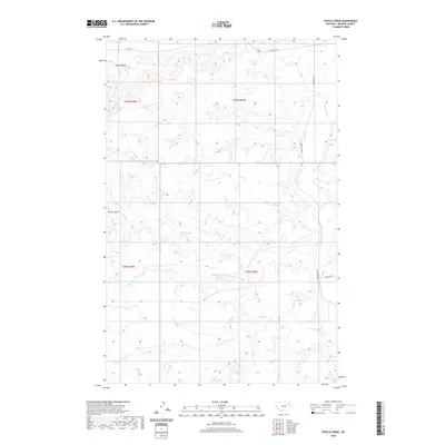
2020 Map of Turtle Creek
USGS Topo · Published 2020About this map
The northern reaches of McCone County are defined by a complex drainage system where Remuda Cr and its tributaries, including the Middle Fork Remuda Cr and W Fork Remuda Cr, carve through the Montana landscape. This contemporary survey by the U.S. Geological Survey illustrates the sparse, ranching-oriented infrastructure of the region, anchored by the north-south corridor of Prairie Elk Rd. The terrain is marked by seasonal watercourses such as Alkali Coulee and Green Coulee, which feed into larger arteries like Turtle Cr and Big Mud Cr. The land is neatly partitioned into township and range grids, including t26n r45e, showing how modern land management persists in this expansive cattle country. Remote roadways like Highland Rd and State Hwy 528 provide the primary access through this high-plains environment near the Missouri River breaks.
Find a feature on this map
16 named features on this map. Tap any name to fly to it.
Don’t see what you’re looking for? This feature index may not catch every label — zoom into the map to look around manually.
Map Details
Editions of this 2020 Turtle Creek Map
This is the sole edition of this map. No revisions or reprints were ever made.
Other maps of this area

1915 · Frazer
USGS Topo · 1:62,500

1915 · Oswego
USGS Topo · 1:62,500

1954 · Jordan
USGS Topo · 1:250,000

1954 · Glendive
USGS Topo · 1:250,000

1954 · Wolf Point
USGS Topo · 1:250,000

1954 · Glasgow
USGS Topo · 1:250,000

1956 · Jordan
USGS Topo · 1:250,000

1957 · Glasgow
USGS Topo · 1:250,000

1957 · Glendive
USGS Topo · 1:250,000

1958 · Wolf Point
USGS Topo · 1:250,000