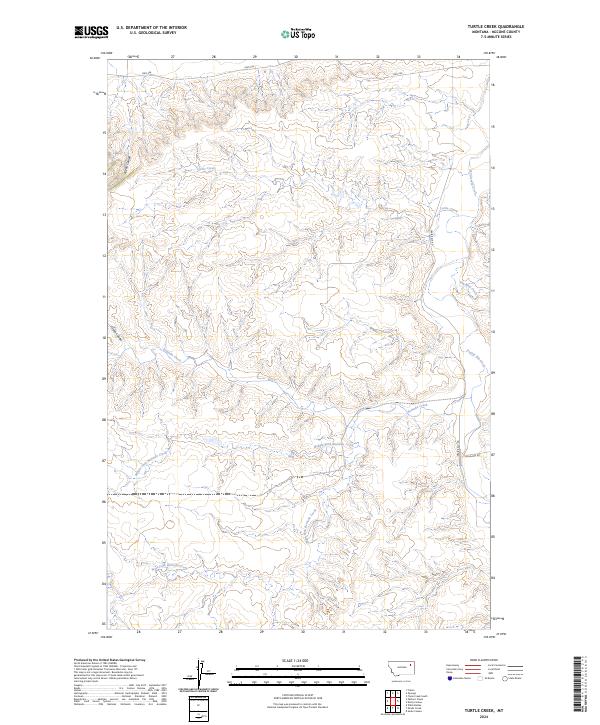
2024 Map of Turtle Creek
USGS Topo · Published 2024About this map
Turtle Creek and its many seasonal tributaries define this section of McCone County, where the landscape is sculpted by a complex network of drainage systems. The map illustrates a remote grazing territory characterized by sharp topographic relief, including Alkali Coulee and Green Coulee. Water resources are central to the geography here, with the Remuda Creek system branching into the Middle Fork Remuda Creek and West Fork Remuda Creek. Human passage through this terrain is primarily facilitated by secondary routes like Hwy 536 and Hwy 528, alongside local ranch roads such as Prairie Elk Rd. The dominance of named creeks like Prairie Elk Creek and Big Mud Creek underscores the importance of watershed management in this part of the high plains, providing a detailed view of the natural contours and land divisions within t26n r45e and surrounding townships.
Find a feature on this map
16 named features on this map. Tap any name to fly to it.
Don’t see what you’re looking for? This feature index may not catch every label — zoom into the map to look around manually.
Map Details
Editions of this 2024 Turtle Creek Map
This is the sole edition of this map. No revisions or reprints were ever made.
Other maps of this area

1915 · Frazer
USGS Topo · 1:62,500

1915 · Oswego
USGS Topo · 1:62,500

1954 · Jordan
USGS Topo · 1:250,000

1954 · Glendive
USGS Topo · 1:250,000

1954 · Wolf Point
USGS Topo · 1:250,000

1954 · Glasgow
USGS Topo · 1:250,000

1956 · Jordan
USGS Topo · 1:250,000

1957 · Glasgow
USGS Topo · 1:250,000

1957 · Glendive
USGS Topo · 1:250,000

1958 · Wolf Point
USGS Topo · 1:250,000