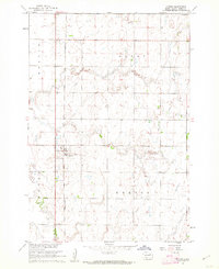
1960 Map of Turton
USGS Topo · Published 1962About this map
Turton sits at the center of this Spink County landscape, established along the vital corridor of the Chicago and North Western railroad. Mapped during the early 1960s as part of a Department of the Interior program for the Missouri River Basin, the topography reveals a prairie environment defined by subtle drainage patterns and local landmarks like the Flowing Well. The survey captures the township boundaries of Olean, Benton, and Turton, reflecting the grid-based agricultural organization of the South Dakota plains. While the settlement itself is small, the detailed mapping of section lines and the rail-line infrastructure provides a clear record of the rural economy and transportation network that sustained these communities during the mid-20th century.
Find a feature on this map
8 named features on this map. Tap any name to fly to it.
Don’t see what you’re looking for? This feature index may not catch every label — zoom into the map to look around manually.
Map Details
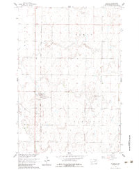
Editions of this 1960 Turton Map
2 editions found
Other maps of this area

1894 · Conde
USGS Topo · 1:62,500

1895 · Byron
USGS Topo · 1:125,000

1895 · Aberdeen
USGS Topo · 1:125,000

1953 · Milbank
USGS Topo · 1:250,000

1953 · Huron
USGS Topo · 1:250,000

1953 · Watertown
USGS Topo · 1:250,000

1954 · Aberdeen
USGS Topo · 1:250,000

1954 · Huron
USGS Topo · 1:250,000

1956 · Aberdeen
USGS Topo · 1:250,000

1958 · Milbank
USGS Topo · 1:250,000