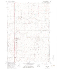
1960 Map of Turton
USGS Topo · Published 1983About this map
Turton serves as the primary focal point of this Spink County landscape, situated along the north-south corridor of the Chicago and North Western railroad. This 1960 survey, published by the Geological Survey as part of the Missouri River Basin development program, illustrates a quintessential High Plains agricultural layout defined by township boundaries such as Benton, Olean, Sumner, and Turton. The presence of a Flowing Well south of the main settlement indicates the critical importance of subterranean water sources for sustaining life and livestock in this prairie environment. The map details the rectilinear road grid and sparse but deliberate settlement pattern typical of the mid-20th-century Dakotas, where the railway provided the essential link between local grain production and national markets.
Find a feature on this map
7 named features on this map. Tap any name to fly to it.
Don’t see what you’re looking for? This feature index may not catch every label — zoom into the map to look around manually.
Map Details
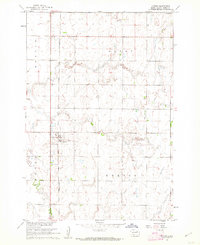
Editions of this 1960 Turton Map
2 editions found
Other maps of this area

1894 · Conde
USGS Topo · 1:62,500

1895 · Byron
USGS Topo · 1:125,000

1895 · Aberdeen
USGS Topo · 1:125,000

1953 · Milbank
USGS Topo · 1:250,000

1953 · Huron
USGS Topo · 1:250,000

1953 · Watertown
USGS Topo · 1:250,000

1954 · Aberdeen
USGS Topo · 1:250,000

1954 · Huron
USGS Topo · 1:250,000

1956 · Aberdeen
USGS Topo · 1:250,000

1958 · Milbank
USGS Topo · 1:250,000