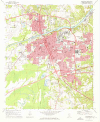
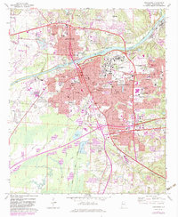
1971 Map of Tuscaloosa
USGS Topo · Published 1973About this map
The Black Warrior River serves as the central artery for this early 1970s view of Tuscaloosa and Northport, Alabama. The map reveals the extensive footprint of the University of Alabama, including the Northington Campus, alongside major institutions like Bryce Hospital and Partlow State School and Hospital. The urban expansion is balanced by a network of local landmarks, from Stillman College to specialized facilities like the Shelton State Tech Institute.
Find a feature on this map
74 named features on this map. Tap any name to fly to it.
Don’t see what you’re looking for? This feature index may not catch every label — zoom into the map to look around manually.
Map Details
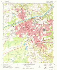
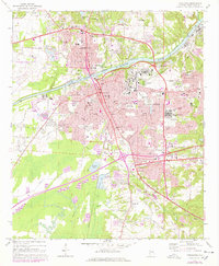
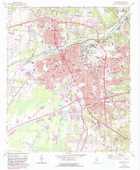
Editions of this 1971 Tuscaloosa Map
5 editions found
Other maps of this area

1899 · Brookwood
USGS Topo · 1:125,000

1924 · Tuscaloosa
USGS Topo · 1:62,500

1926 · Samantha
USGS Topo · 1:48,000

1926 · Tuscaloosa
USGS Topo · 1:62,500

1928 · Samantha
USGS Topo · 1:62,500

1929 · Searles
USGS Topo · 1:48,000

1931 · Cottondale
USGS Topo · 1:48,000

1934 · Searles
USGS Topo · 1:62,500

1934 · Cottondale
USGS Topo · 1:62,500

1953 · Birmingham
USGS Topo · 1:250,000