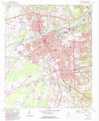
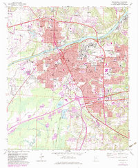
1971 Map of Tuscaloosa
USGS Topo · Published 1983About this map
Tuscaloosa and Northport sit on opposite banks of the Black Warrior River, joined by their shared industrial and academic history as of the early 1970s. The river is the central artery of this landscape, featuring the Oliver Lock and Dam and multiple gaging stations, while the surrounding area is defined by the expansive grounds of Stillman College and the University of Alabama. Significant social infrastructure is visible, including the sprawling Bryce Hospital and the Partlow State School and Hospital. To the south and west, the terrain transitions into a network of waterways like Cribbs Mill Creek and Cypress Creek, where smaller communities such as Taylorville and Stokes are found. This map records the city's growth along the Skyland Boulevard and University Blvd corridors, showing the density of neighborhood schools like West End Sch and Stafford Sch alongside civic landmarks like the Courthouse and Federal Bldg.
Find a feature on this map
97 named features on this map. Tap any name to fly to it.
Don’t see what you’re looking for? This feature index may not catch every label — zoom into the map to look around manually.
Map Details
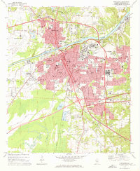
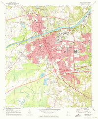
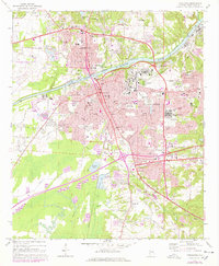
Editions of this 1971 Tuscaloosa Map
5 editions found
Other maps of this area

1899 · Brookwood
USGS Topo · 1:125,000

1924 · Tuscaloosa
USGS Topo · 1:62,500

1926 · Samantha
USGS Topo · 1:48,000

1926 · Tuscaloosa
USGS Topo · 1:62,500

1928 · Samantha
USGS Topo · 1:62,500

1929 · Searles
USGS Topo · 1:48,000

1931 · Cottondale
USGS Topo · 1:48,000

1934 · Searles
USGS Topo · 1:62,500

1934 · Cottondale
USGS Topo · 1:62,500

1953 · Birmingham
USGS Topo · 1:250,000