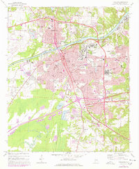
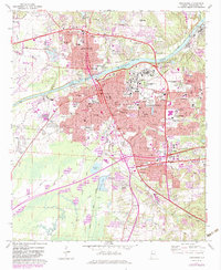
1971 Map of Tuscaloosa
USGS Topo · Published 1978About this map
The Black Warrior River bisects this 1970s landscape, separating Northport from the expanding educational and medical hubs of Tuscaloosa. This era captures the city during a period of significant institutional growth, anchored by the sprawling campus of the University of Alabama and Stillman College. Landmark structures such as Denny Chimes and Memorial Coliseum appear alongside major healthcare facilities including Bryce Hospital and Druid City Hosp.
Find a feature on this map
69 named features on this map. Tap any name to fly to it.
Don’t see what you’re looking for? This feature index may not catch every label — zoom into the map to look around manually.
Map Details
Editions of this 1971 Tuscaloosa Map
5 editions found
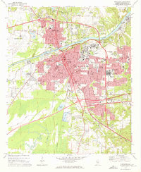
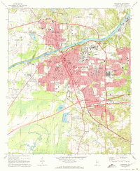
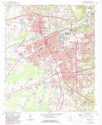
Other maps of this area

1899 · Brookwood
USGS Topo · 1:125,000

1924 · Tuscaloosa
USGS Topo · 1:62,500

1926 · Samantha
USGS Topo · 1:48,000

1926 · Tuscaloosa
USGS Topo · 1:62,500

1928 · Samantha
USGS Topo · 1:62,500

1929 · Searles
USGS Topo · 1:48,000

1931 · Cottondale
USGS Topo · 1:48,000

1934 · Searles
USGS Topo · 1:62,500

1934 · Cottondale
USGS Topo · 1:62,500

1953 · Birmingham
USGS Topo · 1:250,000