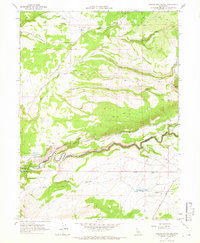
1965 Map of Tuscan Buttes NE
USGS Topo · Published 1966About this map
Battle Creek carves a deep path across this mid-1960s landscape, serving as the boundary between Shasta and Tehama counties. The area is defined by a sophisticated hydroelectric infrastructure, including the Coleman Powerhouse, Coleman Forebay, and the extensive Coleman Canal. Engineering details like the Asbury Pipe Siphon, Penstocks, and a long Flume illustrate how water was diverted and managed for power generation in this part of Northern California.
Find a feature on this map
27 named features on this map. Tap any name to fly to it.
Don’t see what you’re looking for? This feature index may not catch every label — zoom into the map to look around manually.
Map Details
Editions of this 1965 Tuscan Buttes NE Map
2 editions found
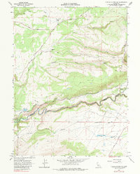
Other maps of this area

1886 · Lassen Peak
USGS Topo · 1:250,000

1890 · Red Bluff
USGS Topo · 1:250,000

1892 · Lassen Peak
USGS Topo · 1:250,000

1894 · Lassen Peak
USGS Topo · 1:250,000

1894 · Red Bluff
USGS Topo · 1:250,000

1901 · Redding
USGS Topo · 1:125,000

1935 · Burney
USGS Topo · 1:96,000

1935 · Paynes Creek
USGS Topo · 1:96,000

1939 · Burney
USGS Topo · 1:125,000

1941 · Mineral
USGS Topo · 1:125,000