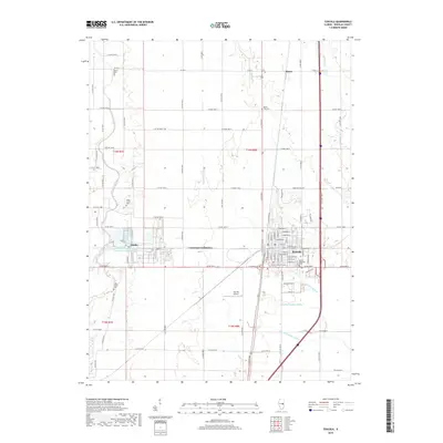
2018 Map of Tuscola
USGS Topo · Published 2018About this map
The Kaskaskia River snakes through the western portion of this Central Illinois landscape, providing a natural contrast to the rigid grid of the surrounding agricultural township. This 2018 survey centers on the city of Tuscola, showing its residential expansion and the specialized industrial footprint of the National Petrochemical Company Plant Reservoir near Ficklin. The map serves as a vital record for genealogists, as it preserves the locations of several smaller burial grounds including Lewis Cem, Mount Zion Cem, and both the Upper Lester and Lower Lester cemeteries.
Find a feature on this map
89 named features on this map. Tap any name to fly to it.
Don’t see what you’re looking for? This feature index may not catch every label — zoom into the map to look around manually.
Map Details
Editions of this 2018 Tuscola Map
This is the sole edition of this map. No revisions or reprints were ever made.
Other maps of this area
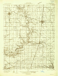
1935 · Arcola
USGS Topo · 1:48,000
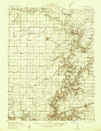
1936 · Oakland
USGS Topo · 1:48,000
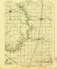
1940 · Arcola
USGS Topo · 1:62,500
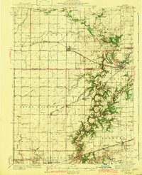
1942 · Oakland
USGS Topo · 1:62,500
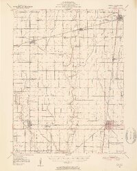
1950 · Tuscola
USGS Topo · 1:62,500
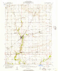
1956 · Villa Grove
USGS Topo · 1:62,500
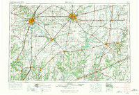
1958 · Decatur
USGS Topo · 1:250,000
1961 · Decatur
USGS Topo · 1:250,000
1975 · Tuscola NE
USGS Topo · 1:24,000
1975 · Tuscola NW
USGS Topo · 1:24,000