
1999 Map of Tuscola
USGS Topo · Published 2003About this map
The Tuscola area at the turn of the millennium is characterized by its organized grid of agricultural land and the concentrated civic infrastructure of the Douglas County seat. Significant community landmarks such as Jarman Memorial Hospital, the Po, and CH anchor the city center, while educational sites like North Ward Sch and East Prairie Sch define the local neighborhoods. The landscape is marked by the winding course of the Kaskaskia River and Hayes Branch, which cut across the otherwise rectilinear survey lines. Industrial and utility footprints are visible in the Oil Field to the northwest and the extensive Disposal Ponds near Ficklin, reflecting the region's intersection of rural life and industrial processing. Numerous family-named burial grounds, including Lewis Cem and the Upper Lester Cem, provide valuable geographic markers for genealogical research across the prairie.
Find a feature on this map
44 named features on this map. Tap any name to fly to it.
Don’t see what you’re looking for? This feature index may not catch every label — zoom into the map to look around manually.
Map Details
Editions of this 1999 Tuscola Map
This is the sole edition of this map. No revisions or reprints were ever made.
Other maps of this area

1935 · Arcola
USGS Topo · 1:48,000

1936 · Oakland
USGS Topo · 1:48,000

1940 · Arcola
USGS Topo · 1:62,500

1942 · Oakland
USGS Topo · 1:62,500

1950 · Tuscola
USGS Topo · 1:62,500

1956 · Villa Grove
USGS Topo · 1:62,500

1958 · Decatur
USGS Topo · 1:250,000

1961 · Decatur
USGS Topo · 1:250,000
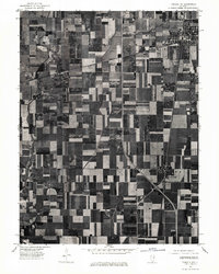
1975 · Tuscola NE
USGS Topo · 1:24,000
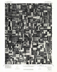
1975 · Tuscola NW
USGS Topo · 1:24,000