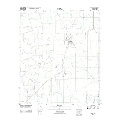
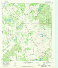
2012 Map of Tuscola
USGS Topo · Published 2012About this map
The town of Tuscola serves as a central hub in this Taylor County landscape, where the street grid is organized along Railroad Ave and intersected by several numbered streets. The terrain is defined by a series of prominent elevations including High Lonesome Mtn, Bald Eagle Mtn, and Double Gap Mtn, which frame the local passes at Lemons Gap. These natural features dictate the drainage patterns of waterways like Jim Ned Cr and Red Bank Cr, which feed into local catchments such as Ovalo Lake and Lake Stith.
Find a feature on this map
79 named features on this map. Tap any name to fly to it.
Don’t see what you’re looking for? This feature index may not catch every label — zoom into the map to look around manually.
Map Details
Editions of this 2012 Tuscola Map
This is the sole edition of this map. No revisions or reprints were ever made.
Other maps of this area
1890 · Abilene
USGS Topo · 1:125,000
1892 · Abilene
USGS Topo · 1:125,000

1954 · Abilene
USGS Topo · 1:250,000
1957 · Kirby Lake
USGS Topo · 1:62,500
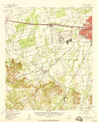
1957 · Buffalo Gap
USGS Topo · 1:62,500

1958 · Abilene
USGS Topo · 1:250,000
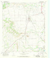
1967 · Tuscola
USGS Topo · 1:24,000
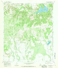
1967 · Lake Abilene
USGS Topo · 1:24,000
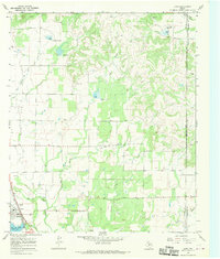
1967 · Lawn
USGS Topo · 1:24,000
1967 · Goldsboro
USGS Topo · 1:24,000