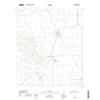
2019 Map of Tuscola
USGS Topo · Published 2019About this map
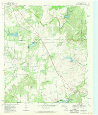
Tuscola serves as a central hub in this corner of Taylor County, where the grid of city streets meets the surrounding ranch land. The landscape is defined by the prominent elevations of High Lonesome Mtn and Double Gap Mtn, which rise sharply above the creek valleys. Water drainage patterns are clearly visible, with Jim Ned Cr and Red Bank Cr winding through the terrain toward smaller impoundments like Ovalo Lake and Stith Lake. Genealogists will find significance in the presence of Lemons Gap Cem and McBee Cem, which mark early settlement sites near the small communities of Ovalo and Lawn. The survey also highlights the area's geography through landmarks such as Lemons Gap and Bald Eagle Mtn, illustrating the transition between the plains and more varied topographical features.
Find a feature on this map
73 named features on this map. Tap any name to fly to it.
Don’t see what you’re looking for? This feature index may not catch every label — zoom into the map to look around manually.
Map Details
Editions of this 2019 Tuscola Map
This is the sole edition of this map. No revisions or reprints were ever made.
Other maps of this area
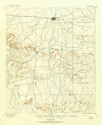
1890 · Abilene
USGS Topo · 1:125,000
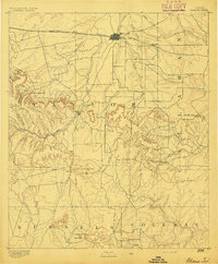
1892 · Abilene
USGS Topo · 1:125,000

1954 · Abilene
USGS Topo · 1:250,000
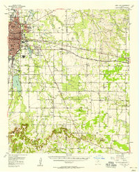
1957 · Kirby Lake
USGS Topo · 1:62,500
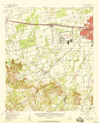
1957 · Buffalo Gap
USGS Topo · 1:62,500

1958 · Abilene
USGS Topo · 1:250,000
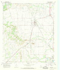
1967 · Tuscola
USGS Topo · 1:24,000
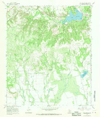
1967 · Lake Abilene
USGS Topo · 1:24,000
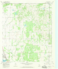
1967 · Lawn
USGS Topo · 1:24,000
1967 · Goldsboro
USGS Topo · 1:24,000