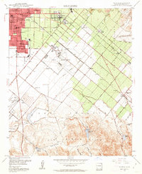
1948 Map of Tustin
USGS Topo · Published 1962About this map
Santa Ana and Tustin anchor the northwestern corner of this mid-century survey, showing the transition from dense urban blocks to the massive agricultural holdings and open ranges of the San Joaquin area. A significant portion of the landscape is dominated by the Naval Reservation, surrounded by private gun clubs like the Twenty Ranch Gun Club and Sprig Gun Club, reflecting a landscape defined by military utility and rural leisure before the suburban sprawl of later decades. The Atchison Topeka and Santa Fe Railroad cuts a diagonal path through the map, serving small transit points like Browning, Frances, and Kathryn. To the south, the terrain rises into the San Joaquin Hills, where vital water infrastructure such as the San Joaquin Dam and Sand Canyon Reservoir support the region's ranching economy, centered on the sprawling Irvine Ranch.
Find a feature on this map
55 named features on this map. Tap any name to fly to it.
Don’t see what you’re looking for? This feature index may not catch every label — zoom into the map to look around manually.
Map Details
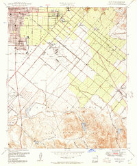
Editions of this 1948 Tustin Map
2 editions found
Other maps of this area

1896 · Santa Ana
USGS Topo · 1:62,500

1896 · Anaheim
USGS Topo · 1:62,500

1898 · Anaheim
USGS Topo · 1:62,500

1901 · Southern California Sheet No. 1
USGS Topo · 1:250,000

1901 · Santa Ana
USGS Topo · 1:62,500

1901 · Anaheim
USGS Topo · 1:62,500

1902 · Corona
USGS Topo · 1:125,000

1904 · Southern California Sheet No. 1
USGS Topo · 1:250,000

1932 · Orange
USGS Topo · 1:31,680

1932 · Newport Beach
USGS Topo · 1:31,680