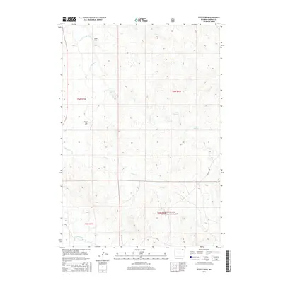
2015 Map of Tuttle Draw
USGS Topo · Published 2015About this map
Thunder Basin National Grassland dominates the southeastern portion of this landscape, reflecting the modern conservation and land management practices in Campbell County. The hydrology is defined by the winding course of the Little Powder River and its various tributaries, including Antelope Cr and Duck Cr. The presence of Mary Reservoir and Valarie Reservoir suggests the importance of water storage in this semi-arid environment, likely supporting livestock or local industrial needs. The terrain is marked by distinctive drainage features such as Tuttle Draw and Prairie Dog Draw, which slice through the high plains. Infrastructure is sparse, characterized by functional routes like Oil Field Rd and Rocky Point Rd, pointing to the region's intersection of ranching and energy extraction during the early twenty-first century.
Find a feature on this map
15 named features on this map. Tap any name to fly to it.
Don’t see what you’re looking for? This feature index may not catch every label — zoom into the map to look around manually.
Map Details
Editions of this 2015 Tuttle Draw Map
This is the sole edition of this map. No revisions or reprints were ever made.
Other maps of this area

1954 · Gillette
USGS Topo · 1:250,000

1955 · Gillette
USGS Topo · 1:250,000

1958 · Gillette
USGS Topo · 1:250,000

1962 · Gillette
USGS Topo · 1:250,000
1972 · Oliver Draw
USGS Topo · 1:24,000
1972 · Mitten Butte
USGS Topo · 1:24,000
1972 · Nipple Butte
USGS Topo · 1:24,000
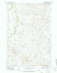
1972 · Tuttle Draw
USGS Topo · 1:24,000
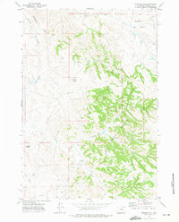
1972 · Bowman Hill
USGS Topo · 1:24,000
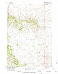
1972 · Rocky Butte
USGS Topo · 1:24,000