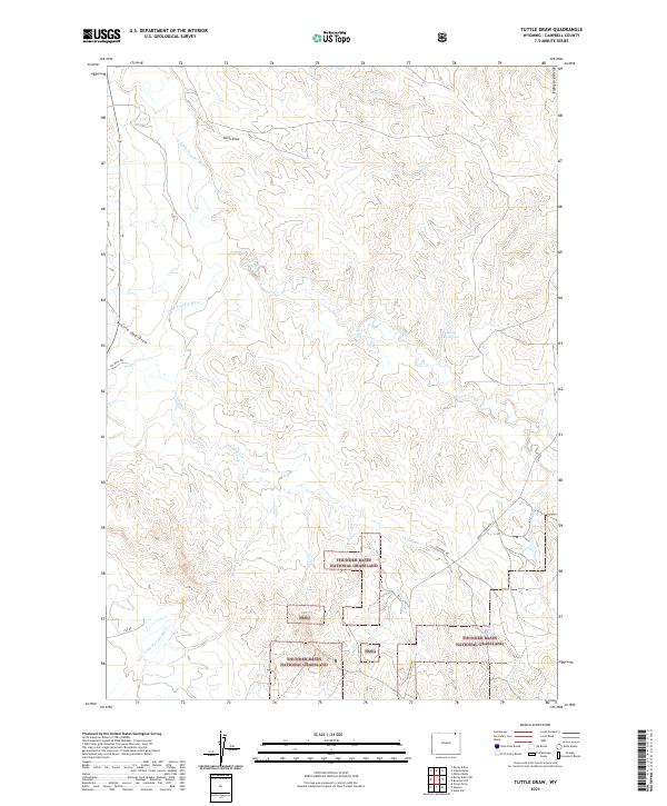
2021 Map of Tuttle Draw
USGS Topo · Published 2021About this map
Thunder Basin National Grassland dominates the southern landscape of this Campbell County quadrangle, where the High Plains terrain is marked by a network of drainage basins and ridges. The Little Powder River winds through the western sections, joined by seasonal watercourses such as Tuttle Draw and Prairie Dog Draw. Along the eastern edge, the Eightyfive Divide provides a topographic boundary overlooking the headwaters of Duck Cr and Bell Cr.
Find a feature on this map
17 named features on this map. Tap any name to fly to it.
Don’t see what you’re looking for? This feature index may not catch every label — zoom into the map to look around manually.
Map Details
Editions of this 2021 Tuttle Draw Map
This is the sole edition of this map. No revisions or reprints were ever made.
Other maps of this area

1954 · Gillette
USGS Topo · 1:250,000

1955 · Gillette
USGS Topo · 1:250,000

1958 · Gillette
USGS Topo · 1:250,000

1962 · Gillette
USGS Topo · 1:250,000
1972 · Oliver Draw
USGS Topo · 1:24,000
1972 · Mitten Butte
USGS Topo · 1:24,000
1972 · Nipple Butte
USGS Topo · 1:24,000
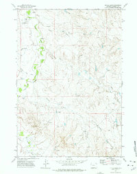
1972 · Tuttle Draw
USGS Topo · 1:24,000
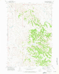
1972 · Bowman Hill
USGS Topo · 1:24,000
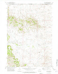
1972 · Rocky Butte
USGS Topo · 1:24,000