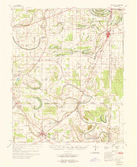
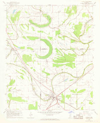
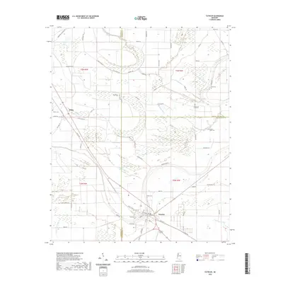
1969 Map of Tutwiler
USGS Topo · Published 1969About this map
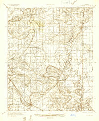
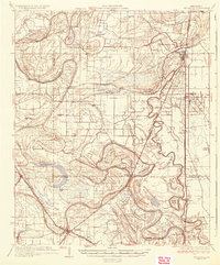
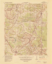
Cassidy Bayou winds through a landscape defined by the intersection of Coahoma, Quitman, and Tallahatchie counties. This late-1960s environment is characterized by a dense network of country churches and small agricultural settlements, illustrating the social and spiritual hubs of the Mississippi Delta. The Illinois Central railroad serves as the industrial spine, connecting centers like Tutwiler and Lambert.
Find a feature on this map
61 named features on this map. Tap any name to fly to it.
Don’t see what you’re looking for? This feature index may not catch every label — zoom into the map to look around manually.
Map Details
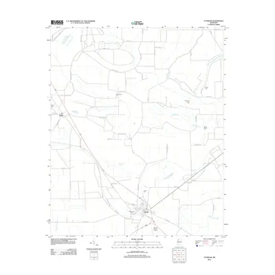
Editions of this 1969 Tutwiler Map
This is the sole edition of this map. No revisions or reprints were ever made.
Historical Maps of Marks Through Time
10 maps found
1932 Tutwiler
Tallahatchie County, MS
1935 Tutwiler
Tallahatchie County, MS
1939 Tutwiler
Tallahatchie County, MS
1967 Tutwiler
Tallahatchie County, MS
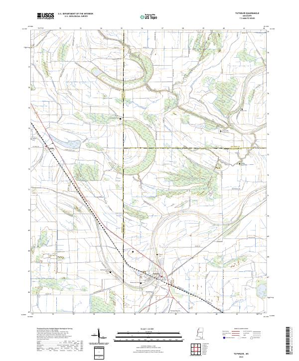
1969 Tutwiler
Tallahatchie County, MS
2012 Tutwiler
Tallahatchie County, MS
2015 Tutwiler
Tallahatchie County, MS
2018 Tutwiler
Tallahatchie County, MS
2020 Tutwiler
Tallahatchie County, MS
2024 Tutwiler
Tallahatchie County, MS