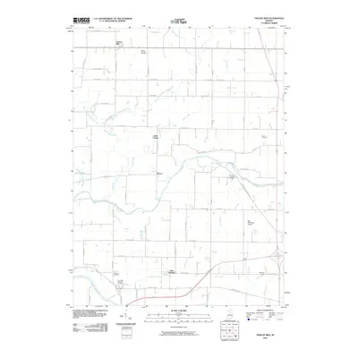
2010 Map of Twelve Mile
USGS Topo · Published 2010About this map
The Wabash River and Eel River define the hydraulic character of this northern Indiana landscape, where small hamlets like Twelve Mile and New Waverly are connected by a dense grid of county roads. The terrain is crisscrossed by an extensive network of named drainage systems, including Ulerich Ditch, Brower Ditch, and Williams Ditch, reflecting the agricultural development of Miami and Cass counties.
Find a feature on this map
68 named features on this map. Tap any name to fly to it.
Don’t see what you’re looking for? This feature index may not catch every label — zoom into the map to look around manually.
Map Details
Editions of this 2010 Twelve Mile Map
This is the sole edition of this map. No revisions or reprints were ever made.
Other maps of this area

1951 · Peru
USGS Topo · 1:24,000

1951 · Onward
USGS Topo · 1:24,000

1951 · Twelve Mile
USGS Topo · 1:24,000

1951 · Bunker Hill
USGS Topo · 1:24,000

1953 · Danville
USGS Topo · 1:250,000

1955 · Danville
USGS Topo · 1:250,000

1955 · Logansport
USGS Topo · 1:24,000

1955 · Anoka
USGS Topo · 1:24,000

1956 · Danville
USGS Topo · 1:250,000
1960 · Peru
USGS Topo · 1:24,000