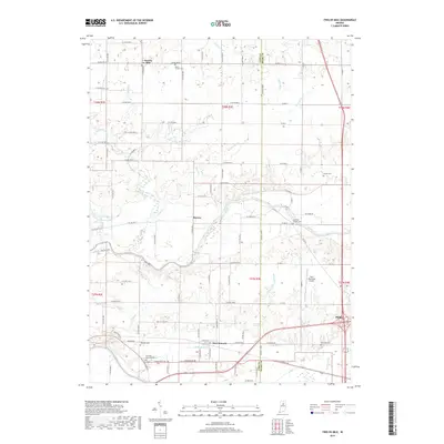
2019 Map of Twelve Mile
USGS Topo · Published 2019About this map
Twelve Mile serves as a focal point for this rural landscape where Cass and Miami counties meet. The region is defined by an extensive network of managed drainage and natural waterways, including the winding course of the Eel River and its many tributaries like Twelve Mile Creek and Goose Run. This agricultural heartland is dotted with several small communities such as Hoover and New Waverly, the latter situated near the southern edge of the survey area near the Wabash River.
Find a feature on this map
72 named features on this map. Tap any name to fly to it.
Don’t see what you’re looking for? This feature index may not catch every label — zoom into the map to look around manually.
Map Details
Editions of this 2019 Twelve Mile Map
This is the sole edition of this map. No revisions or reprints were ever made.
Other maps of this area

1951 · Peru
USGS Topo · 1:24,000

1951 · Onward
USGS Topo · 1:24,000

1951 · Twelve Mile
USGS Topo · 1:24,000

1951 · Bunker Hill
USGS Topo · 1:24,000

1953 · Danville
USGS Topo · 1:250,000

1955 · Danville
USGS Topo · 1:250,000

1955 · Logansport
USGS Topo · 1:24,000

1955 · Anoka
USGS Topo · 1:24,000

1956 · Danville
USGS Topo · 1:250,000
1960 · Peru
USGS Topo · 1:24,000