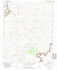
1970 Map of Twentymile Hill
USGS Topo · Published 1986About this map
Chevlon Canyon dominates the southern reaches of this landscape, its steep walls and winding floor carving through the high desert. The area is defined by a reliance on water management for ranching and transit, evidenced by a network of catchments such as Cement Tank, Sixteenmile Tank, and Twin Tanks. Near the high point of Twentymile Hill, a scattered system of Jeep Trails provides the primary means of navigating the terrain between the Coconino and Navajo County line.
Find a feature on this map
21 named features on this map. Tap any name to fly to it.
Don’t see what you’re looking for? This feature index may not catch every label — zoom into the map to look around manually.
Map Details
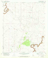
Editions of this 1970 Twentymile Hill Map
2 editions found
Other maps of this area

1886 · Holbrook
USGS Topo · 1:250,000

1893 · Holbrook
USGS Topo · 1:250,000

1954 · Holbrook
USGS Topo · 1:250,000

1955 · Sunset Knoll 2 SE
USGS Topo · 1:24,000

1955 · Sunset Pass
USGS Topo · 1:62,500

1957 · Holbrook
USGS Topo · 1:250,000

1958 · Holbrook
USGS Topo · 1:250,000

1960 · Holbrook
USGS Topo · 1:250,000
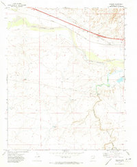
1970 · Hibbard
USGS Topo · 1:24,000
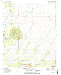
1970 · Chevelon Butte
USGS Topo · 1:24,000