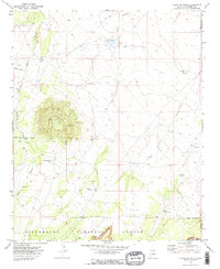
1970 Map of Chevelon Butte
USGS Topo · Published 1973About this map
Chevelon Butte dominates this high-desert landscape on the border of Coconino and Navajo Counties, its prominent volcanic form rising above the surrounding plateau. In the early 1970s, this area of the Sitgreaves National Forest was defined by an extensive network of water management features essential for ranching and forest operations. Features like Babbitt Tank, Mormon Tank, and Little Mormon Tank illustrate the historical reliance on catchment systems in an arid environment where surface water is scarce.
Find a feature on this map
25 named features on this map. Tap any name to fly to it.
Don’t see what you’re looking for? This feature index may not catch every label — zoom into the map to look around manually.
Map Details
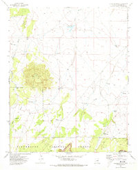
Editions of this 1970 Chevelon Butte Map
2 editions found
Other maps of this area

1886 · Holbrook
USGS Topo · 1:250,000

1893 · Holbrook
USGS Topo · 1:250,000

1954 · Holbrook
USGS Topo · 1:250,000

1955 · Sunset Knoll 2 SW
USGS Topo · 1:24,000

1955 · Sunset Knoll 2 SE
USGS Topo · 1:24,000

1955 · Sunset Pass
USGS Topo · 1:62,500

1957 · Holbrook
USGS Topo · 1:250,000

1958 · Holbrook
USGS Topo · 1:250,000

1960 · Holbrook
USGS Topo · 1:250,000
1965 · Grama Draw
USGS Topo · 1:24,000