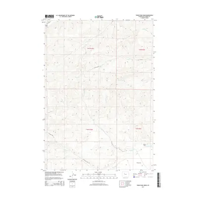
2015 Map of Twentyone Creek
USGS Topo · Published 2015About this map
Pershal Spring and the expansive reach of Putney Flat characterize this high-desert landscape in Hot Springs County. The drainage network is particularly dense here, defined by the seasonal flows of Twentyone Cr and its tributaries, including the W Fork Twentyone Cr and E Fork Twentyone Cr. These waterways cut through the terrain, creating distinct landforms such as Egbert Draw and Dugout Draw. The map illustrates a remote grazing or resource-extraction environment where transportation is limited to established routes like Cottonwood Creek Rd, Wagon Hound Rd, and Grass Creek Rd. The absence of formal town centers highlights the isolation of this region, where life revolves around the water sources like Lake Cr and the larger Cottonwood Cr system.
Find a feature on this map
21 named features on this map. Tap any name to fly to it.
Don’t see what you’re looking for? This feature index may not catch every label — zoom into the map to look around manually.
Map Details
Editions of this 2015 Twentyone Creek Map
This is the sole edition of this map. No revisions or reprints were ever made.
Other maps of this area
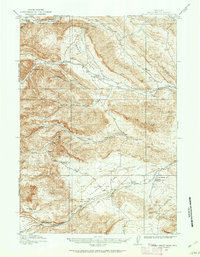
1913 · Grass Creek Basin
USGS Topo · 1:62,500
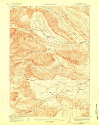
1915 · Grass Creek Basin
USGS Topo · 1:62,500

1955 · Thermopolis
USGS Topo · 1:250,000
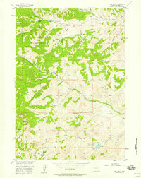
1956 · Milk Creek
USGS Topo · 1:24,000
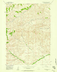
1956 · Twentyone Creek
USGS Topo · 1:24,000
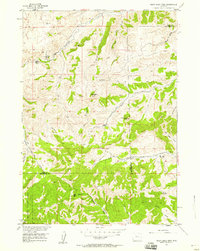
1956 · Soapy Dale Peak
USGS Topo · 1:24,000
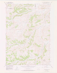
1956 · Adam Weiss Peak
USGS Topo · 1:24,000
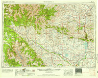
1958 · Thermopolis
USGS Topo · 1:250,000
1962 · Thermopolis
USGS Topo · 1:250,000
1965 · Embar
USGS Topo · 1:24,000