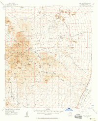
1957 Map of Twin Buttes
USGS Topo · Published 1958About this map
The San Xavier Del Bac Mission lands and the rugged peaks of the Sierra Sierrita anchor this mid-century portrait of southern Arizona. The landscape is defined by a ranching and mining economy, where vast holdings like Canoa Ranch, Ruby-Star Ranch, and McGee Ranch are interspersed among significant copper operations. The industrial footprint of the Pima Mine and Banner Mine is clearly visible, including the Pima Mine Tailings Pond near Mineral Hill. The eastern portion of the map follows the corridor of the Santa Cruz River and the Southern Pacific railroad, illustrating the primary transportation arteries through the San Ignacio de la Canoa land grant. Numerous washes, such as Demetrie Wash and Esperanza Wash, carve through the terrain toward the river valley, marking the natural drainage patterns of this arid region.
Find a feature on this map
50 named features on this map. Tap any name to fly to it.
Don’t see what you’re looking for? This feature index may not catch every label — zoom into the map to look around manually.
Map Details
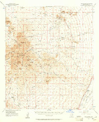
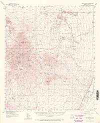
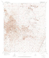
Editions of this 1957 Twin Buttes Map
4 editions found
Other maps of this area

1904 · Patagonia
USGS Topo · 1:125,000

1904 · Tucson
USGS Topo · 1:125,000

1905 · Patagonia
USGS Topo · 1:125,000

1905 · Tucson
USGS Topo · 1:125,000

1920 · Arivaca
USGS Topo · 1:125,000

1922 · Agus Caliente
USGS Topo · 1:62,500

1925 · Samaniego Peak
USGS Topo · 1:62,500

1925 · San Xavier
USGS Topo · 1:62,500

1926 · Helvetia
USGS Topo · 1:62,500

1934 · Tucson Mountains
USGS Topo · 1:125,000