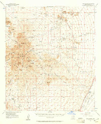
1957 Map of Twin Buttes
USGS Topo · Published 1961About this map
Sierrita Mountains dominate this 1957 landscape, where a series of prominent summits like Keystone Peak and Soto Peak overlook an evolving mining and ranching economy. Industrial activity is concentrated at the northern edge, where the Pima Mine and Banner Mine operate near Mineral Hill, marked by extensive tailings ponds and shafts. This mid-century view captures a network of family-held territories including Ruby-Star Ranch, McGee Ranch, and Batamote Ranch, which utilized the natural drainages of Demetrie Wash and Tinaja Wash for livestock. Along the eastern margin, the Santa Cruz River valley provides a fertile corridor for the Southern Pacific railroad and established holdings like Canoa Ranch. The map effectively documents the spatial relationship between these isolated desert outposts and the emerging large-scale open-pit mining operations that began to redefine the terrain of the Twin Buttes area.
Find a feature on this map
41 named features on this map. Tap any name to fly to it.
Don’t see what you’re looking for? This feature index may not catch every label — zoom into the map to look around manually.
Map Details
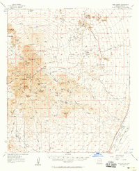
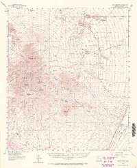
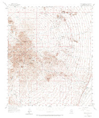
Editions of this 1957 Twin Buttes Map
4 editions found
Other maps of this area

1904 · Patagonia
USGS Topo · 1:125,000

1904 · Tucson
USGS Topo · 1:125,000

1905 · Patagonia
USGS Topo · 1:125,000

1905 · Tucson
USGS Topo · 1:125,000

1920 · Arivaca
USGS Topo · 1:125,000

1922 · Agus Caliente
USGS Topo · 1:62,500

1925 · Samaniego Peak
USGS Topo · 1:62,500

1925 · San Xavier
USGS Topo · 1:62,500

1926 · Helvetia
USGS Topo · 1:62,500

1934 · Tucson Mountains
USGS Topo · 1:125,000