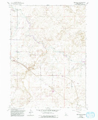
1979 Map of Twin Falls NE
USGS Topo · Published 1993About this map
The North Side Main Canal and its extensive network of ditches and laterals define this agricultural landscape on the border of Idaho and Jerome County. This 1979 survey, with revisions from 1992, documents the vital irrigation infrastructure of the Snake River Plain, including the Diversion Dam and No 4 Pumping Station that transformed this arid region into productive farmland.
Find a feature on this map
18 named features on this map. Tap any name to fly to it.
Don’t see what you’re looking for? This feature index may not catch every label — zoom into the map to look around manually.
Map Details
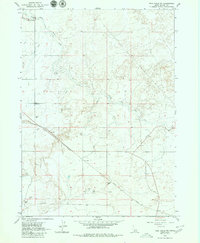
Editions of this 1979 Twin Falls NE Map
2 editions found
Other maps of this area

1955 · Twin Falls
USGS Topo · 1:250,000

1958 · Twin Falls
USGS Topo · 1:250,000

1964 · Kimberly
USGS Topo · 1:24,000

1964 · Falls City
USGS Topo · 1:24,000

1964 · Twin Falls
USGS Topo · 1:24,000

1964 · Eden
USGS Topo · 1:24,000

1964 · Perrine
USGS Topo · 1:24,000

1964 · Hunt
USGS Topo · 1:24,000

1971 · Shoshone SE
USGS Topo · 1:24,000

1971 · Star Lake
USGS Topo · 1:24,000