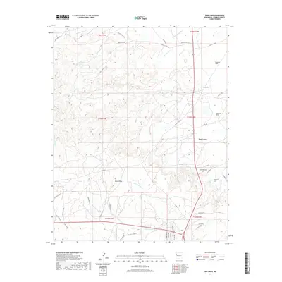
2020 Map of Twin Lakes
USGS Topo · Published 2020About this map
Tohatchi Flats and the elevated terrain of Banana Ridge dominate this modern landscape in McKinley County. The settlement of Twin Lakes serves as a central hub, connected by a network of service roads and rural routes like Tohlakai Rd and Jack Johnson Rd. The drainage patterns here are complex and evocatively named, with Burned Death Wash, Banana Ridge Wash, and Black Ridge Wash cutting through the high desert floor.
Find a feature on this map
52 named features on this map. Tap any name to fly to it.
Don’t see what you’re looking for? This feature index may not catch every label — zoom into the map to look around manually.
Map Details
Editions of this 2020 Twin Lakes Map
This is the sole edition of this map. No revisions or reprints were ever made.
Other maps of this area

1886 · Wingate
USGS Topo · 1:250,000

1892 · Wingate
USGS Topo · 1:250,000

1954 · Gallup
USGS Topo · 1:250,000

1955 · Tohatchi
USGS Topo · 1:62,500

1958 · Gallup
USGS Topo · 1:250,000

1959 · Gallup
USGS Topo · 1:250,000

1962 · Gallup
USGS Topo · 1:250,000

1963 · Twin Lakes
USGS Topo · 1:24,000

1963 · Big Rock Hill
USGS Topo · 1:24,000

1963 · Gallup West
USGS Topo · 1:24,000
Featured Places
- Fort Defiance Agency
- Eastern Navajo Agency, NM
- Twin Lakes, Fort Defiance Agency
- Yah-ta-hey, NM
- Tohlakai, Eastern Navajo Agency