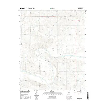
2016 Map of Twin Mounds
USGS Topo · Published 2016About this map
Twin Mounds stands as a prominent topographical landmark north of the Cimarron River, anchoring a rural Oklahoma landscape defined by its winding waterways and deep-rooted community sites. This mid-2010s survey illustrates a region where local transit once relied on crossings like Dunkin Bridge, connecting the scattered settlements of Amabel, Gano, and Bend. The area is characterized by numerous small cemeteries, including Ingall Cem, Dunkin Cem, and Union Cem, which serve as vital markers for genealogical research in this part of Payne County.
Find a feature on this map
53 named features on this map. Tap any name to fly to it.
Don’t see what you’re looking for? This feature index may not catch every label — zoom into the map to look around manually.
Map Details
Editions of this 2016 Twin Mounds Map
This is the sole edition of this map. No revisions or reprints were ever made.
Other maps of this area

1908 · Agra
USGS Topo · 1:62,500

1929 · Yale
USGS Topo · 1:62,500

1929 · Ripley
USGS Topo · 1:62,500

1931 · Drumright
USGS Topo · 1:62,500

1932 · Yale
USGS Topo · 1:62,500

1932 · Ripley
USGS Topo · 1:62,500

1954 · Oklahoma City
USGS Topo · 1:250,000

1955 · Enid
USGS Topo · 1:250,000

1957 · Oklahoma City
USGS Topo · 1:250,000

1958 · Enid
USGS Topo · 1:250,000