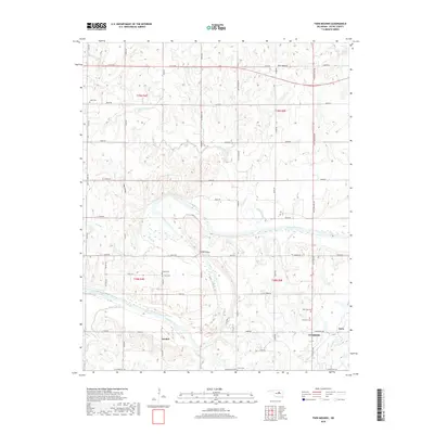
2018 Map of Twin Mounds
USGS Topo · Published 2018About this map
Cushing anchors the southeastern corner of this Payne County landscape, where the northern residential and industrial grid meets the rural reaches of Central Oklahoma. The Cimarron River winds extensively through the center of the sheet, defined by significant crossings like the Dunkin Bridge and proximity to several small local cemeteries that reflect the area's early settlement patterns. Features such as Ingall Cem, Bend Cem, and New Zion Cem are scattered across the township lines of t19n r4e and t18n r5e. The topography is marked by the eponymous Twin Mounds in the north and the distinct depression of Hog Hollow to the west. While Cushing is the primary hub, smaller named locales like Amabel and Gano persist along the road networks of N Little Ave and sh51.
Find a feature on this map
58 named features on this map. Tap any name to fly to it.
Don’t see what you’re looking for? This feature index may not catch every label — zoom into the map to look around manually.
Map Details
Editions of this 2018 Twin Mounds Map
This is the sole edition of this map. No revisions or reprints were ever made.
Other maps of this area
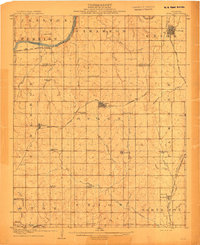
1908 · Agra
USGS Topo · 1:62,500
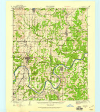
1929 · Yale
USGS Topo · 1:62,500
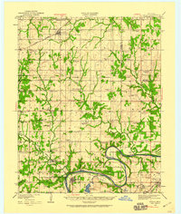
1929 · Ripley
USGS Topo · 1:62,500
1931 · Drumright
USGS Topo · 1:62,500
1932 · Yale
USGS Topo · 1:62,500
1932 · Ripley
USGS Topo · 1:62,500
1954 · Oklahoma City
USGS Topo · 1:250,000

1955 · Enid
USGS Topo · 1:250,000
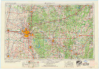
1957 · Oklahoma City
USGS Topo · 1:250,000

1958 · Enid
USGS Topo · 1:250,000